Aerial Video
& Photography
Aerial Video
& Photography
A picture or a video can describe more information and create a more harmonic feeling than words. Drones have become the newest trend to take pictures, they are capable to get into places where our brokers cannot reach. Aerial photography and videography can show our properties’ from different perspectives and angles, they can show you what the property looks like from above, or a 360-degree panoramic view. Drone technology has taken our real estate industry to different heights.

Cutting Edge Technology
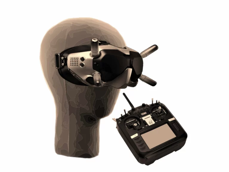
LandLeader drone pilots use cutting-edge drone technology such as FPV(First Person View) drone systems, ultra-high-resolution drone camera systems, advanced imaging techniques, and long-range communication systems. Our pilots utilize these modern imaging tools to create the most impressive and immersive content in the industry.

FAA Certified Pilots
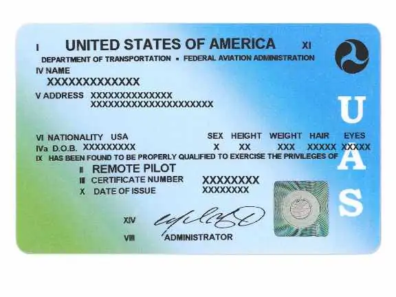
The skies above our listed properties require a knowledgeable person to navigate safely. The laws for drone usage are constantly changing and evolving, that is why our pilots are certified, professionals. Hazards are quite prevalent and proper research and procedure needs to be used to guarantee a safe flight. Pilots are insured and experienced professionals who can provide the most comprehensive and specialized imagery needed for properties.

Advanced Optics & Capture Technologies
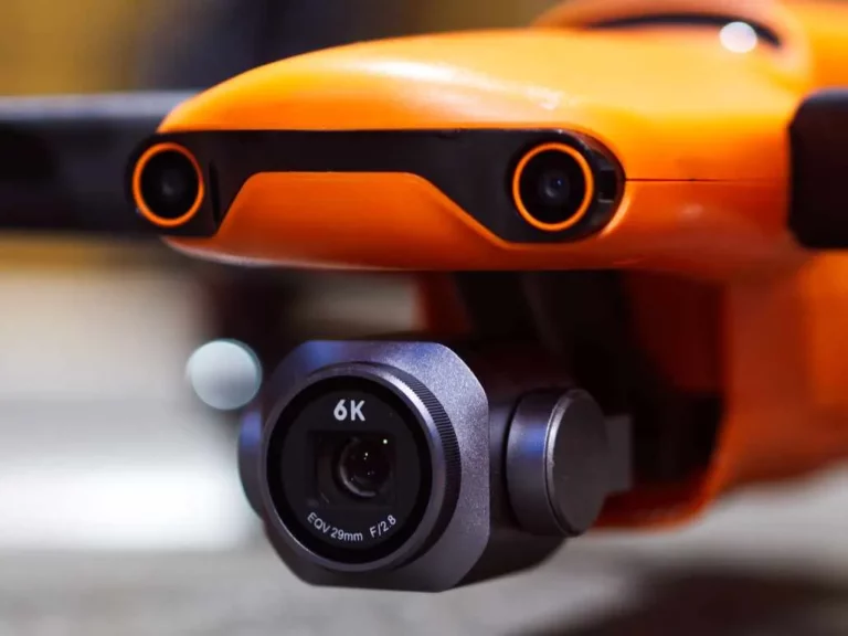
High resolutions and unrivaled color capture give each image a vibrant expression. Whether it be 8k video to show off beautiful grasslands, or 6k raw footage to color grade for breathtaking sunsets, LandLeader drone pilots can use their knowledge to obtain the best image possible. Hyper-lapse capture technology allows for time to flow in an accelerated manner enabling potential buyers to see how the land changes over a period of time. It also allows for an understanding of weather patterns that affect the property.
CONTACT US
The National Leader In Land Marketing